Dataset for
Advanced Mapping Robot and High-Resolution Dataset
- Sample Dataset (2.9 seconds from MARS-8, so about 28 images per camera; 470MB)
- MARS-8 (17GB)
- MARS-Loop 1 (7GB) 2 (37GB) 3 (7GB) (you need all 3 bagfiles)
- MARS-NoLoop 1 (7GB) 2 (20GB) 3 (20GB) 4 (5GB) (you need all 4 bagfiles)
Ground truth data:
- 3D FARO raw scandata (2.3GB)
- 3D FARO subsampled PLY (212MB)
- Cloudcompare File with FARO and BLAM data (126MB; subsampled)
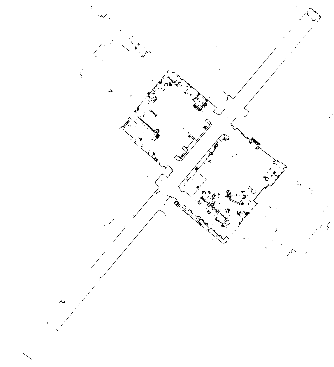
- 2D ground truth png map (1cm resolution) (34kB)
- Ground truth paths (timestamp tx ty tz qx qy qz qw):
Models:
- MARS Mapper Description ROS package
- The rqt_graph output (missing all cameras and one of the velodyne sensors)
Reproducable Mapping:
- 2D Grid Mapping
- 3D Point Cloud Mapping:
- 3D colored Point Cloud Mapping:
- visual SLAM
- Downsampling package for Velodyne
Reproducable Evaluation:
2D Map of the lab
BLAM Mapping Videos (Horizonal Velodyne):
MARS-8:
MARS-Loop:
MARS-NoLoop:
